File: Old baton rouge.jpg

Size of this preview: 750 × 600 pixels. Other resolutions: 300 × 240 pixels | 600 × 480 pixels | 960 × 768 pixels | 1,280 × 1,024 pixels | 1,440 × 1,152 pixels.
Original file (1,440 × 1,152 pixels, file size: 193 KB, MIME type: image/jpeg)
File history
Click on a date/time to view the file as it appeared at that time.
| Date/Time | Thumbnail | Dimensions | User | Comment | |
|---|---|---|---|---|---|
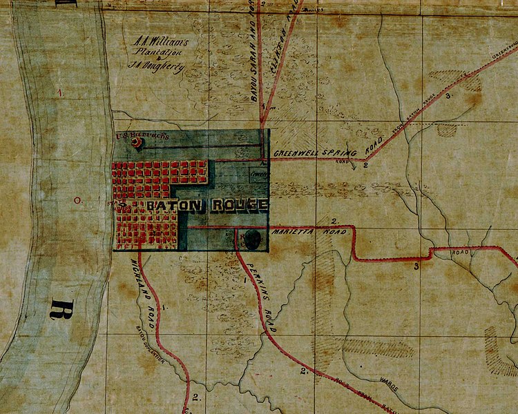
| current | 02:32, 16 August 2007 |  | 1,440 × 1,152 (193 KB) | wikimediacommons>Kkmurray | Map of old Baton Rouge. Detail from "Map of the region east and north of Baton Rouge, showing batteries on the Mississippi north of Port Hudson". ==Original work== http://hdl.loc.gov/loc.gmd/g4014b.cw1007000 [Map of the region east and north of Baton |
File usage
The following page uses this file:

