File: North america terrain 2003 map.jpg

Size of this preview: 673 × 599 pixels. Other resolutions: 270 × 240 pixels | 539 × 480 pixels | 863 × 768 pixels | 1,150 × 1,024 pixels | 2,300 × 2,048 pixels | 3,300 × 2,938 pixels.
Original file (3,300 × 2,938 pixels, file size: 1.66 MB, MIME type: image/jpeg)
File history
Click on a date/time to view the file as it appeared at that time.
| Date/Time | Thumbnail | Dimensions | User | Comment | |
|---|---|---|---|---|---|
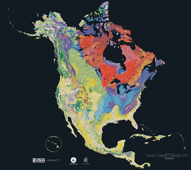
| current | 15:21, 16 September 2005 |  | 3,300 × 2,938 (1.66 MB) | wikimediacommons>Saperaud~commonswiki | Relief map showing the varying age of bedrock underlying North America. thumb|150px|right|Time scale for [[:Image:North america terrain 2003 map.jpg|North America terrain ]] This cartographic t |
File usage
The following page uses this file:


