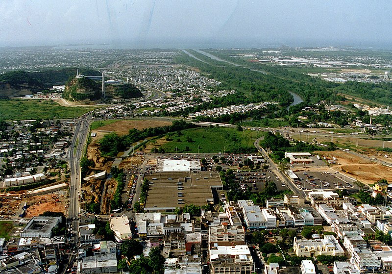
File: Bayamon Puerto Rico aerial view.jpg

Size of this preview: 800 × 559 pixels. Other resolutions: 320 × 223 pixels | 640 × 447 pixels | 1,024 × 715 pixels | 1,280 × 894 pixels | 1,504 × 1,050 pixels.
Original file (1,504 × 1,050 pixels, file size: 413 KB, MIME type: image/jpeg)
File history
Click on a date/time to view the file as it appeared at that time.
| Date/Time | Thumbnail | Dimensions | User | Comment | |
|---|---|---|---|---|---|
| current | 01:35, 27 April 2007 |  | 1,504 × 1,050 (413 KB) | wikimediacommons>DanMS | {{Information | Description = {{en|Aerial view of Bayamón, Puerto Rico. The U.S. Army Corps of Engineers has constructed a flood control project on the Rio de Bayamón through the city. View is to the north towards the Atlantic Ocean. The Canton Mall |
File usage
There are no pages that use this file.
